Topographical Survey
determining the relative locations of points (places) on the earth's surface by measuring horizontal distances, differences in elevation and directions topos (Gr.): place; topographic maps give the locations of places (observable features); they serve as base maps
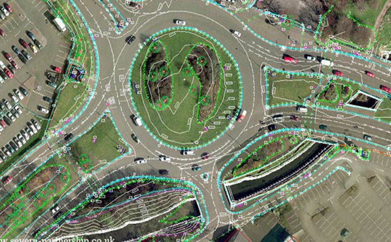
A Topographic Survey is a survey that gathers data about the elevation of points on a piece of land and presents them as contour lines on a plot. The purpose of a topographic survey is to collect survey data about the natural and man-made features of the land, as well as its elevations.